24 Nov, 2012 Author: Glorianna Davenport

Flying a kite!
What can be more fun than flying a kite on a beautiful fall day? Try doing so with a purpose. We did so with a group of Boston-area PLOTS members, and others, curious to learn how kites can facilitate a low-cost approach to mapping. PLOTS, Public Laboratory for Open Technology and Science, is a grass-roots citizen science organization that encourages people to make maps by collecting their own aerial photos then knitting these images together into a detailed map. At Tidmarsh, we are hoping to use this technique to document the restoration process as it progresses at a detail not provided by Google’s updates.
The day, Saturday the 21st, was picture perfect! Sun mixed with clouds to created a spectacular sky-show; temperatures hovered around 50 degrees; and a light breeze on land held the promise of stronger winds aloft.
Jennifer Hudon, one of the organizers of the Boston group, greeted participants from as far away as New Hampshire and Maine and as well as some Tidmarsh neighbors. Jeff Warren, founder of Public Laboratory, traveling with the gang from Cambridge, Ma. in a fleet of Zip cars from Cambridge, Mass. arrived somewhat later, after extricating themselves from Plymouth’s Thanksgiving Day parade!
Following a rapid round of introductions, Jeff pulled two cameras, two half-juice bottles, string and two clips from his backpack. After demonstrating how to set the camera into the plastic housing, Jeff encouraged participants to work in two groups. In less than 20 minutes the two kites had been assembled, cameras attached and were ready for the launch!

A mic is passed around

Preparing the kites!
Throughout the rest of the afternoon, people took turns working the two kites, one of which flew a visible spectrum camera and the other an IR camera. Wind allowed groups gathered on a knoll to capture the expanse to the south including the former impoundment. After about 40 minutes aloft, each kite was brought down to check camera focus, exposure and battery life. For the second flight, the fliers ran with the reels in order to capture the former bogs and stream system to the North.

Flying high!

Evan estimates height
During the first flight, Jeff shared advice with different members of the group. Geoffrey Griffiths explored how he might work with Tidmarsh Farms and use this technology in his ecology class for 9th and 10th graders at the Rising Tide Charter School. Meanwhile, 4 year old Gus with a little help from Dad and Jeff enjoyed flying a kite for the first time. The sub-text of for this age-group involves how to separate the physics of the kite flying ever higher with the psychology of possession.
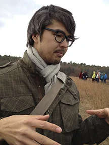
Jeff Warren explains a fine point
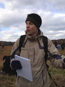
Geoff Griffiths, Ecology teacher, Rising Tide School
At the end of the day, almost 8 gigs of images had been captured in 4 flights. Jeff explained that these images would be uploaded to MapMill, a “Hot or Not” open-source, crowd sourcing facility for evaluating aerial images. Sure enough, hours after the group left Tidmarsh, the images were ready for sorting. In this task, people work remotely to mark the sharpest, clearest images where the camera is looking straight down. These images will eventually be stitched together using the open-source application, MapKnitter, into an arial map. More information on progress of this effort can be found in a posting by Jeff Warren.
MapMill provides engaging statistics about the crowd-sourcing process. For instance, the days immediately following the kite-flying event, over 14 people who had been at the event contributed to sorting expertise, and of the 1,032 images taken on the second flight with the visible spectrum camera 70.8% of the images had been ranked more than one viewer. The best images provide significantly more detail than those on Google Maps. Here is an example of what the former impoundment looks like:

http://archive.publiclaboratory.org/massachusetts/2012-11-17-massachusetts-tidmarsh-farms/visible-1/
A sincere thanks from all of us at Tidmarsh Farm to everyone who participated! We are hoping to use this technology to track ecological change on site, and would love to see you at the next mapping event that will be held in April or May 2012.

All ages enjoy life on the farm